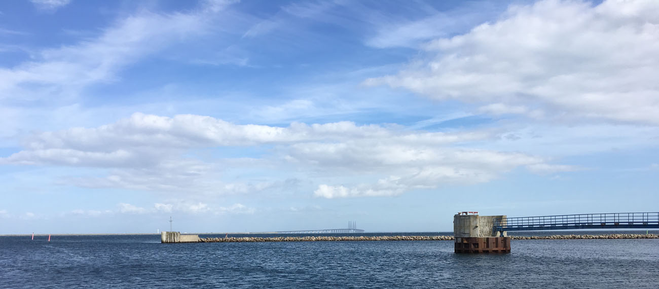
Danish case: The Oeresund and the Bay of Koege
The Oeresund and the Bay of Koege are characterised by inundated prehistoric sites and is one of the most frequented waterways since medieval times.
As a result, the city of Koege became a wealthy center for international trade with the second largest harbour in Denmark next to Copenhagen. Heavy traffic as well as naval battles in the area have caused numerous amounts of wrecks, among those the famous, Dannebroge, sunk by the Swedish fleet in 1710 during the Great Northern War. During the past decades, urban development and tourism has changed the coastal area south of Koege, and the harbour of Koege is now positioned among the ten largest shipping ports in Denmark. The richness of maritime relics in the area is illustrated by the finds from excavations carried out by the Viking Ship Museum due to the further expansion of the harbour, are a fragmented fishweir, which is dated to the transition between the Maglemose and the Kongemose Culture (ca. 6.400 BC.). A neighboring site with a large material of sharp flint artefacts is interpreted as a settlement area from the Maglemose Culture (ca. 8.000-7.500 BC).
Aims of the case study
The aims of the case study are:
- To explore the MCH resources, conservation issues and use potentials in a Danish coastal zone planning context
- To explore the concepts developed in the PanBaltic perspective in the Danish context
- To identify elements, that contributes to the shared PanBaltic maritime history of settlement, shipping and trade.
- To develop the methodological approach to the schematization and transformation of cultural heritage data into the maritime spatial planning setting.
Copy right banner photo: Aalborg University

